Blowing snow in GTA overnight Thursday to make for messy, long commute

Posted February 18, 2021 5:23 am.
Last Updated February 18, 2021 9:00 pm.
Mother nature isn’t going down without a fight.
Environment Canada has officially ended a “Snow Squall Watch” for parts of the GTA but a second round of snow has arrived in the Greater Toronto Area.
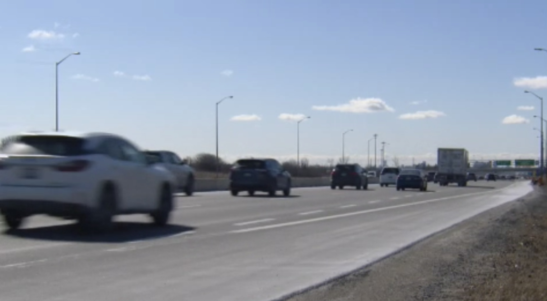
Toronto, Peel, and Halton regions are now under a winter weather travel advisory.
View this post on Instagram
Environment Canada says the system has the potential to produce 15 cm of snow.
“Current indications suggest that the snow could affect shoreline areas from Toronto Island to Burlington as well as areas inland,” Environment Canada said.
“Motorists should be prepared for possible winter driving conditions, especially along the QEW and portions of highway 403 and 407 on Thursday.”
Most of the Golden Horseshoe is expected to see anywhere from 5-10 cm, but localized totals of 10-20 cm are possible between Burlington and Mississauga.
680 NEWS meteorologist Natasha Ramsahai says “the PM commute will be worse than the morning… some spots will see 15-plus cm, especially Toronto and westwards.”
Lake effect snow update for the GTA. Here's what's to come over the next 18-24 hours #Toronto #onstorm pic.twitter.com/GqrrC7RFVv
— Natasha Ramsahai (@CityNatasha) February 18, 2021
Fully into snow west downtown #Toronto now. Live weather from our @680NEWSweather team every 10 minutes on @680NEWS to keep you up to date #onstorm pic.twitter.com/H7ZJd4QfJU
— Natasha Ramsahai (@CityNatasha) February 18, 2021
The snow is expected to continue falling Friday.
Projected snow amounts through Friday. Most tapering off by late Friday morning pic.twitter.com/iKAreaTebz
— Natasha Ramsahai (@CityNatasha) February 18, 2021
The City of Toronto is asking businesses and homeowners to plan to get up early to shovel off their sidewalks.
It’s also asking Torontonians and private contractors to not push snow into bike lanes and roadways, calling it dangerous.
Snowfall is expected to intensify overnight tonight. Please plan essential travel ahead, leave lots of extra time and be patient. More at https://t.co/NkKZ18DxIS #ONStorm pic.twitter.com/VtflJqLFIA
— City of Toronto (@cityoftoronto) February 18, 2021
A winter storm took hold of the GTA and much of Southern Ontario Monday evening into Tuesday morning.
This disrupted the reopening of schools in three Ontario COVID-19 hot spots where in-person classes were set to resume.
RELATED: Thousands of cold-stunned sea turtles being rescued in Texas
In the U.S., utility crews raced Wednesday to restore power to nearly 3.4 million customers who were still without electricity in the aftermath of a deadly winter storm, and another blast of ice and snow threatened to sow more chaos.
The latest storm front was expected to bring more hardship to states that are unaccustomed to such frigid weather — parts of Texas, Arkansas, and the Lower Mississippi Valley — before moving into the Northeast on Thursday.
In Texas, the power grid in this state is run by the non-profit electric reliability council of Texas.
Some consumers blame, not Ercot, but the individual power companies that feed into the grid and supply their homes. However neither Ercot nor the power companies can say when it’ll be back on.
The federal emergency management agency is sending water and blankets to Texas and other parts of the south central U.S.
For the fourth straight day, San Antonio is rescheduling COVID-19 vaccination appointments due to the lingering effects of the winter storm.
Residents in Louisiana are being asked to voluntarily conserve energy tonight due to power shortages.
Officials there say the need for power is approaching an all-time peak, even greater than those experienced during the polar vortex of January 2019.
With files from The Associated Press